
MLive says: “Let's be honest, every part of Pictured Rocks National Lakeshore is gorgeous. It is hard to pick just one spot to feature here, but we will go with Miners Castle. It is a beloved and well-known spot along the shores of Lake Superior. We suggest you get a glimpse of it from on the water as you paddle up close in your kayak.”
September 2-3, 2019
My first trip to Pictured Rocks National Lakeshore was almost ruined by some nasty weather, but a hilarious and confused park ranger named Cheryl at the Visitor Center instilled courage in us to trek on and make the most of it: I’m very grateful for Cheryl and her strange optimism, because I experienced some gorgeous moments.
Upon leaving Marquette the morning of September 2 for Pictured Rocks, the weather forecast was horrendous: high chance of rain, 35-40 mph winds coming in off the lake, and thunderstorms. Not the best forecast for backpacking on the cliffs of Lake Superior. We made our way to the Visitor Center in Munising Falls to get some information and our camping permit, and a strange park ranger named Cheryl clued us in on some local secrets and encouraged us to “just get out there and have a great time!” We listened to Cheryl, despite thinking she was a little crazy.
Cheryl’s first recommendation was to check out Sand Point; this was on my list anyway, and I had planned to hike there from our campsite. However, we drove instead while analyzing our options regarding the weather. Sand Point is usually a gorgeous white sand beach, but we learned something pretty special about it on our trip! After big storms, the waves on Lake Superior erode the Pictured Rocks cliff faces, and garnet (the January birth stone) weathers away and washes up on the Sand Point beach. This turns it red and pink and purple. I’ve never seen anything like it, and never expected to in the Great Lakes (thanks for the tip, Cheryl).


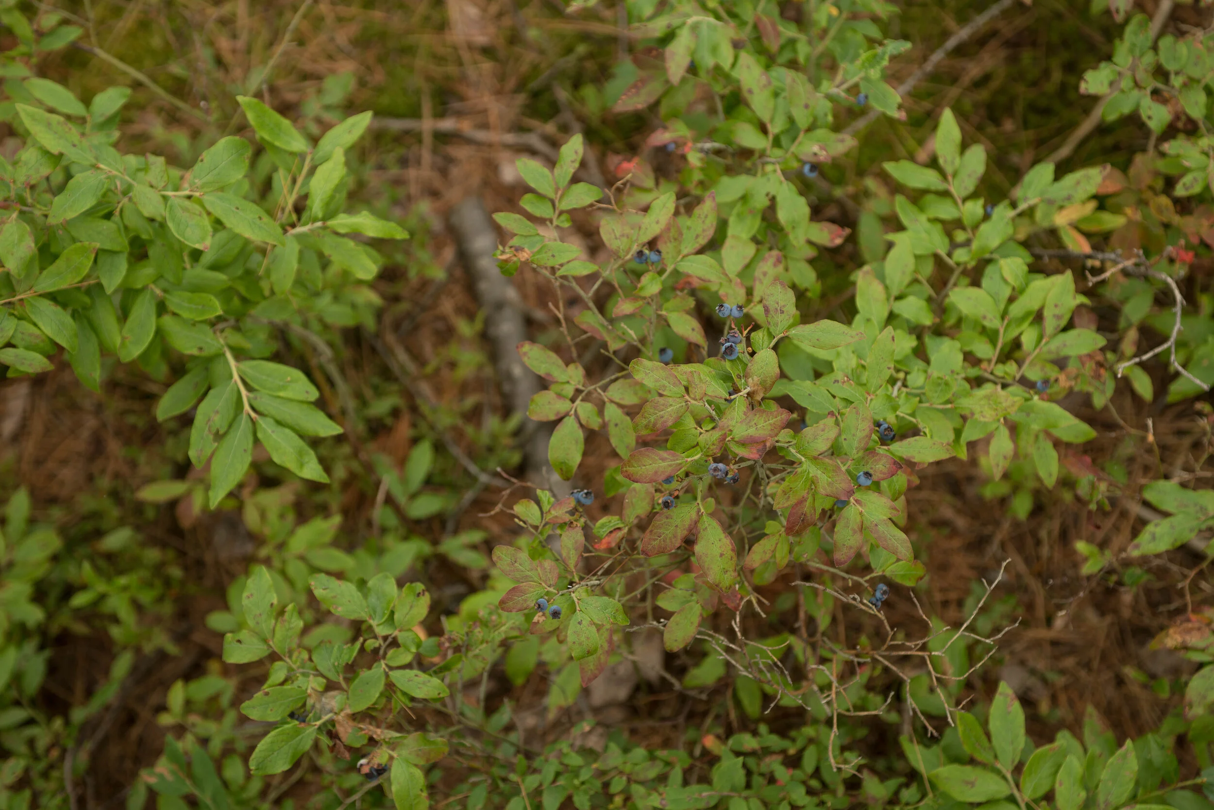
After exploring the garnet covered beach and admiring the patterns the waves made in the sand, we headed over to the marsh trail. This is a mile long boardwalk trail just across from Sand Point, where we found some delicious native blueberries to snack on while we walked. Such a treat!


We made our way back to the car after our marsh walk to ready our packs. We had decided we’d brave the forecast and hike out to our campsite and see what happened. We spent about an hour packing up our bags, snacked on some dried mango by the beach, and drove up to Miner’s Castle to start our hike. I snapped a quick photo of Miner’s Castle before we hit the trail - the rock formation has changed over time: one of the turrets fell off into Lake Superior, so there is only one turret remaining on the formation. I would love to kayak the shoreline someday and see it from below, but this view wasn’t too shabby.

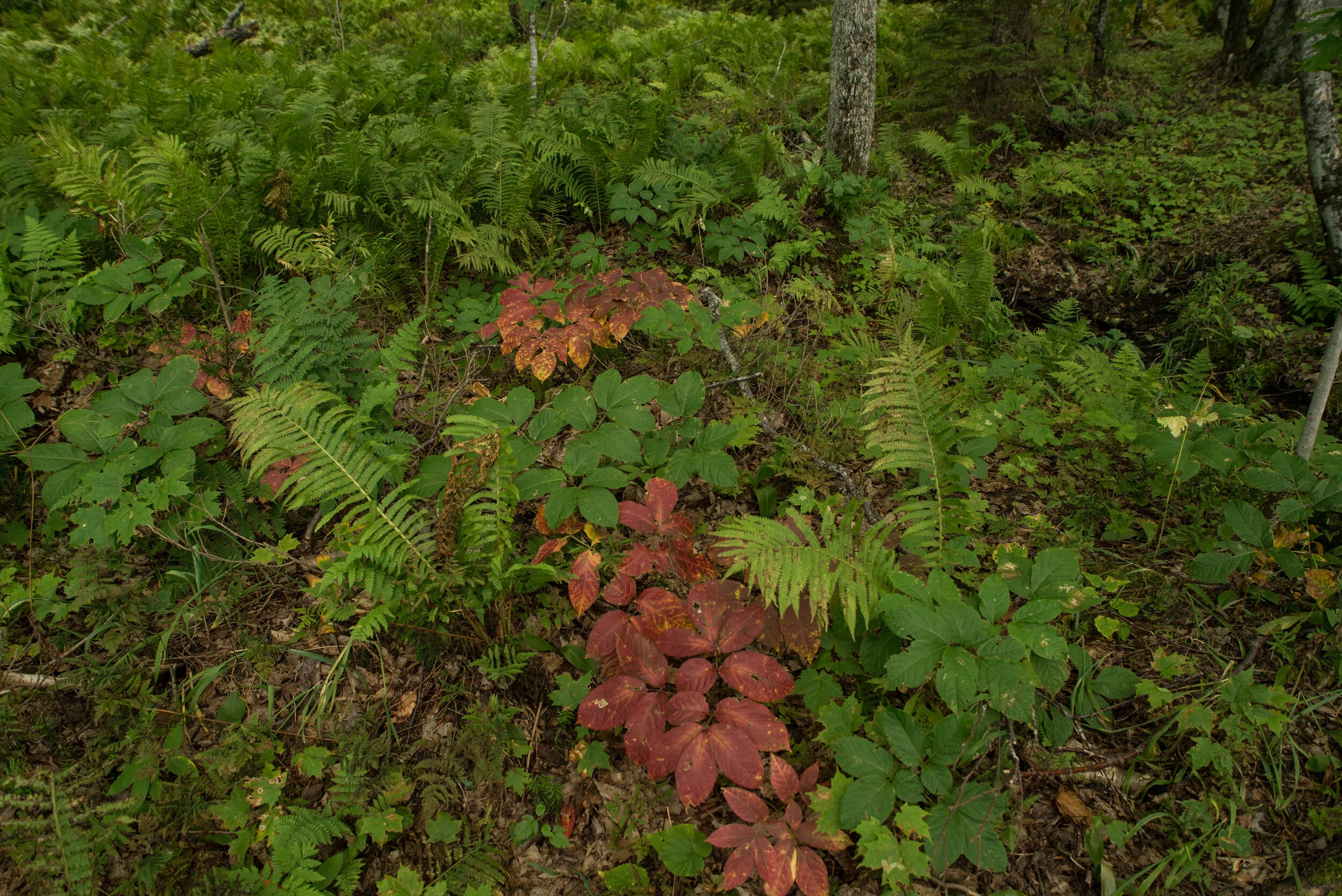
Our hike in to the campsite was short: only about 2.5 miles. We stayed at the cliffs site, which has three individual camping sites available for reservation. The hike in was gorgeous, as it hugged the lakeshore off and on, providing some gorgeous views of Superior and lots of diverse plant life.


When we arrived at our campsite, we popped the tent and hung up the hammock by the lake to relax. We read and napped for a while, enjoying the nice weather while it remained. Eventually, we got pretty cold and hungry, and headed back to the tent to make some dinner and get a bonfire started for the evening.


Our evening was chilly and dry: we had warm beans & rice for dinner, started a nice bonfire, and enjoyed a very starry night. We stayed with the fire until it completely burned out, then made our way to the tent for a somewhat restless night of sleep. The rain started up overnight, and persisted through to early morning. When we woke up, we learned that the rain had splashed up underneath the tent fly and gotten our packs wet. We hung everything up to dry out as best as we could, and got to making some coffee and tea for breakfast.
Once we had some warm beverages to get our bodies moving, we walked to a nearby stream to pump and filter water for the day. Despite the sun showing through the clouds a few times, the sky was dark gray and the air was thick with moisture: it felt like it was going to rain again any second. We made the decision to pack up camp and hike out, rather than get stuck in the tent all day and risk getting our gear more wet.
After about 10 minutes on the trail, the rain started up. About a mile in, it stormed. Thunder and heavy rain followed us through the forest as we made our way back to the trail head. Despite a rain coat, my good hiking boots, and a rain cover on my pack, I came out soaked. Everything down to my underwear was wet. We were able to dry off a bit back at Miner’s Castle under a pavilion, and got everything loaded into the car to head into town. Bill drove while I attempted to change into dry clothes in the passenger seat, draping my wet clothes over every available surface in my car.
We got lunch at a bar in Munising and came up with a new plan for the rest of our day. Despite the weather, we felt that Pictured Rocks was well worth the stop and the weather just made it a bit more memorable. I was glad to get even just one night of actual backpacking in on our trip. We chowed down some black bean burgers and a few beers, and readied ourselves for the next leg of the trip.
Next stop: Baraga.